by ajacobs12345 | Apr 28, 2014 | running
Here are my all time favorite running videos, tonight. The first two are long, like movies.
Badwater. Two hours of shaky cam but a good running film despite irritating characters. Worth the two hours.
The Spirit of the Marathon. Find this on Netfix or somewhere. Very motivational.
1972 5000KM Pre finishes 4th in the Olympics but it was an awesome run
2008 big 10 800. Inspirational and fast.
2008 Olympic trials for steeplechase. Just a good race. A front runner, chasers, etc. The Steeplechase is a train wreck race.
Sidney 10k -this video is just the finish
Watch the last 5 minutes of this crazy race.
Cram and Ovett 1983 best 1500 ever
And I think watching Kipchoge Kieno when I was seven years old is why I started running in the first place.
by ajacobs12345 | Apr 20, 2014 | running
This is a pleasant little run with some nice scenery and a challenging hill at the beginning. It’s also possible to extend or reduce the mileage in many ways. The one I show is about 4.7 miles.
Park at the Hempfield Rec Center. Head left out of the parking lot and then right on to Corporate Blvd.
Continue to Marietta Ave, where you dogleg to the left, then cross Marietta Ave and begin climbing the hill. It’s possible to stay on the grass in this area.
Halfway up the hill there is a sidewalk to the right. Take that till it ends, then continue up the hill.
At the top of the ridge, turn right on Horizon and follow that all the way to Summit Drive.
 |
| Vista from the top. |
Turn right on Summit and follow to Marietta Ave. This road has poor shoulders, so be wary of traffic.
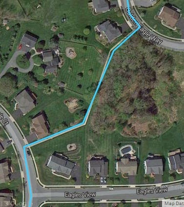
During the winter and spring it’s sometimes possible to take the abandoned rail track as shown in red, below. I wish someone would drive a bush hog through here occasionally. In summer it is not navigable because it gets overgrown with brambles.
 |
|
The old train track trail in the early spring.
|
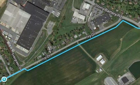
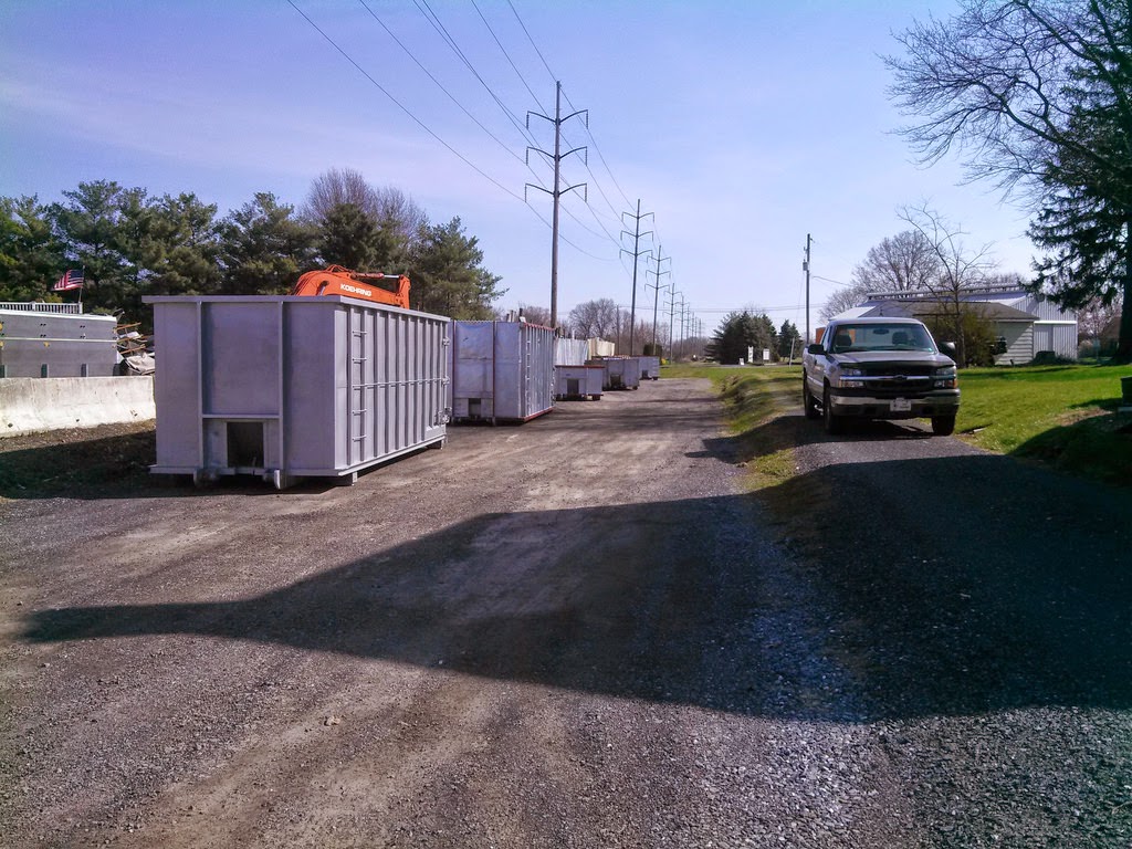
Off of Marietta Ave, turn left between the junk yard and the Fire station, and get on Ivy Drive.
Along Ivy Drive, I recommend crossing to the right side and running between the evergreen trees and the farm field.
 |
|
Between the junk yard and the Fire House.
|
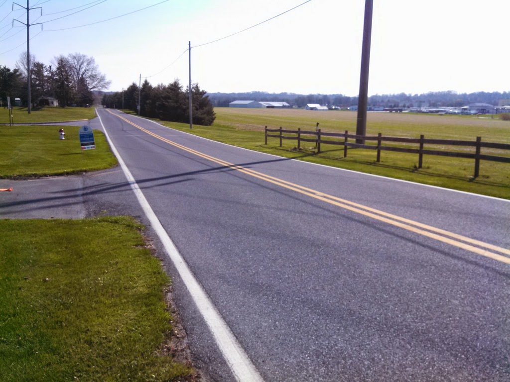 |
| Cross Ivy Drive here and run between the hedgerow and the fields. |
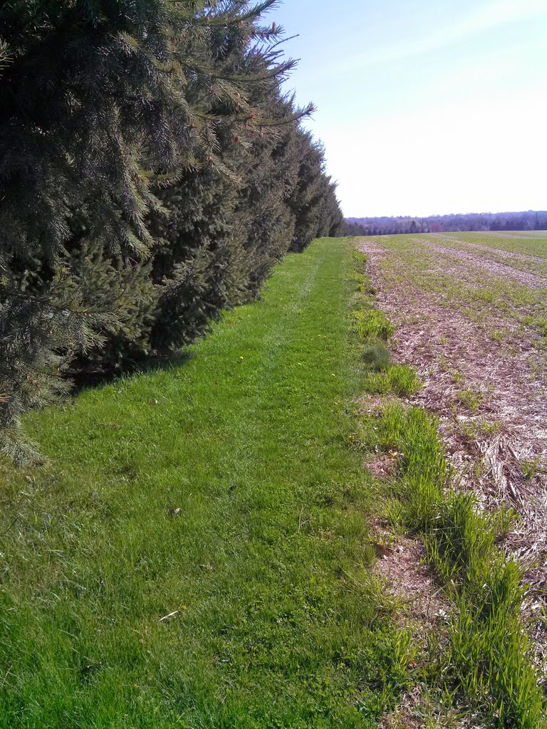 |
| The home stretch |
by ajacobs12345 | Apr 13, 2014 | running
My youngest son and I did the Bucks County Half Marathon this morning. He is 25 and I am 54, and we each finished 9th in our age groups! I highly recommend this race. Lots of water stops. Great food after the race. Nice IT by Mid Atlantic Timing.
The start was crowded for the first mile, with a narrow path and hedgerows of brambles right up against the sides, so you were sort of stuck in the position you started. Once the pack started to thin, there was plenty of space, and tons to see in the state park. It was a small road or trail paved with asphalt most of the way.
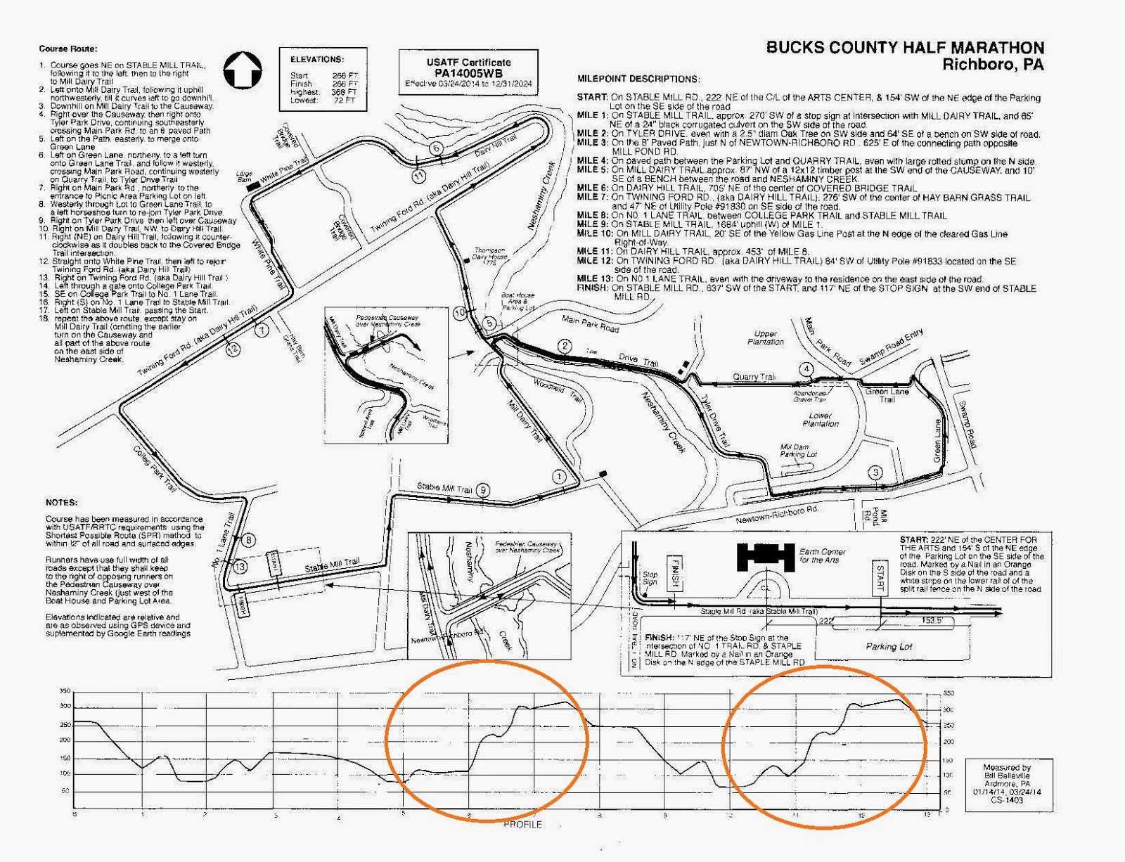
Starting at mile 5, there was a vertical ascent of 300 feet in about 2.5 miles. Then we looped around and did the exact same climb again, this time starting at mile 10. Whew!
On the map below, I circled the climb on the elevation section of this map just so you can see when the beast will bite you if you decide to do this half.
by ajacobs12345 | Apr 9, 2014 | running
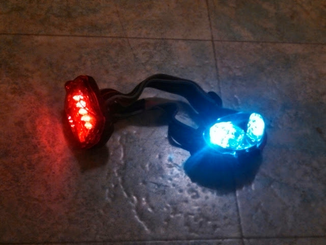
At night I run with a headlight up front and a flashing red light in the back.
by ajacobs12345 | Mar 29, 2014 | running
This is a nice country route near Landisville. Not extremely hilly, but it does dip steeply in to some creek bottoms.
Get to it by parking at the Hempfield Rec Center. I don’t know if the rec center’s bathrooms are available, but it would be worth a try.
Out of the parking lot, take a right, staying on the grass, and then the first right on Snapper Dam road. Then follow the map.
The first half mile is through suburbs, but the rest is through farm country. You’ll see many idyllic rural scenes along the way. I mapped a 6.7 mile route, but there are lots of optons to make this course shorter or longer.
There are no restrooms or water along the way. The roads don’t have much shoulder, but cars are infrequent enough that they can give you wide berth.
My mom used to buy raw milk from one of the farmers along this route, so hence the name “The Milk Route.”
This is one of my favorites.
http://www.endomondo.com/routes/315327283


